Skip to content

Seismic

AI-Assisted Seismic Interpretation

Interpret 2D, 3D and 4D seismic data and carry results straight into geological and reservoir models

Advanced Seismic Interpretation & Visualisation

tNavigator’s Seismic module is seismic interpretation software for analysing 2D, 3D and 4D seismic data within a fully integrated subsurface modelling platform. Built for geophysicists and subsurface teams, it enables accurate interpretation, faster workflows and seamless integration with geological and reservoir models — with AI-assisted attributes and native OSDU data exchange to fit modern, enterprise subsurface workflows.


A Clearer Picture of the Subsurface

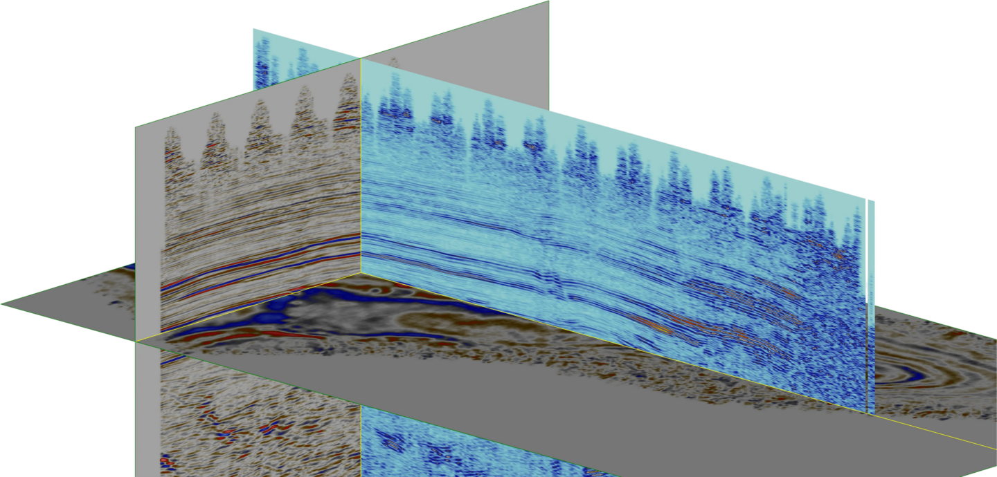
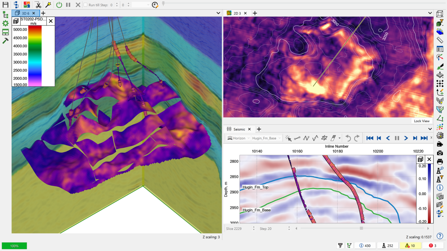
Synchronise 2D and 3D views to interpret seismic data from multiple perspectives, improving geological understanding and reducing uncertainty.

Interactive Attribute Analysis

Quickly test and refine attribute settings in real time, enabling faster screening and more confident interpretation decisions.

Advanced Subsurface Insights

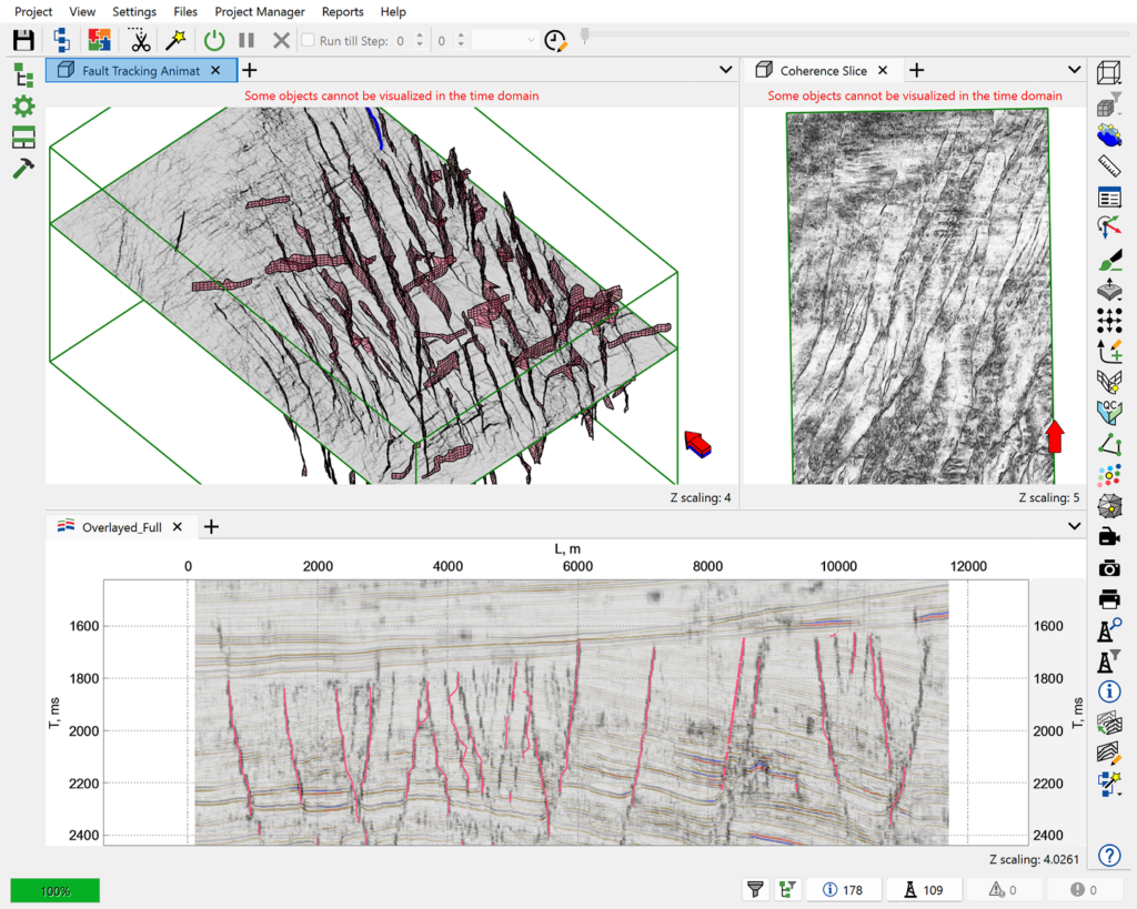
Leverage modern interpretation techniques including seismic merging, automated fault extraction, attribute blending, spectral decomposition and machine learning-based seismic inversion.
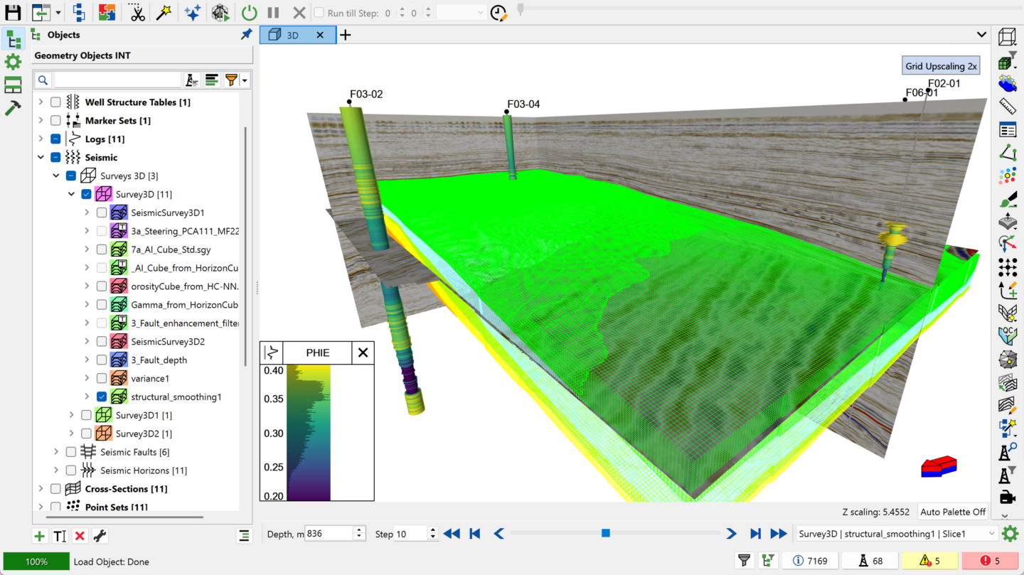

tNavigator combines interpretation, visualisation, mapping and attribute analysis in one unified environment:

  • 2D, 3D and 4D seismic interpretation – analyse seismic data across multiple scales and time-lapse datasets.
  • Seismic well tie – correlate seismic data with well logs, including synthetic-trace visualisation along the well trajectory over real seismic traces.
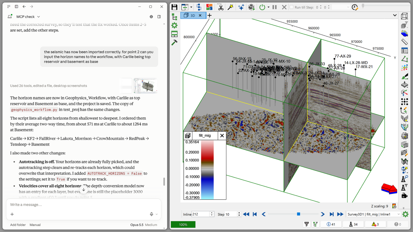
  • Advanced visualisation – interpret seismic volumes with synchronised 2D, 3D and Seismic tab views, using a universal Seismic Player and the interactive Seismic Ghost Tool to compare sections.
  • Velocity model building – create and refine velocity models for depth conversion, including uncertainty control on Velocity/Gradient Maps by TDR.
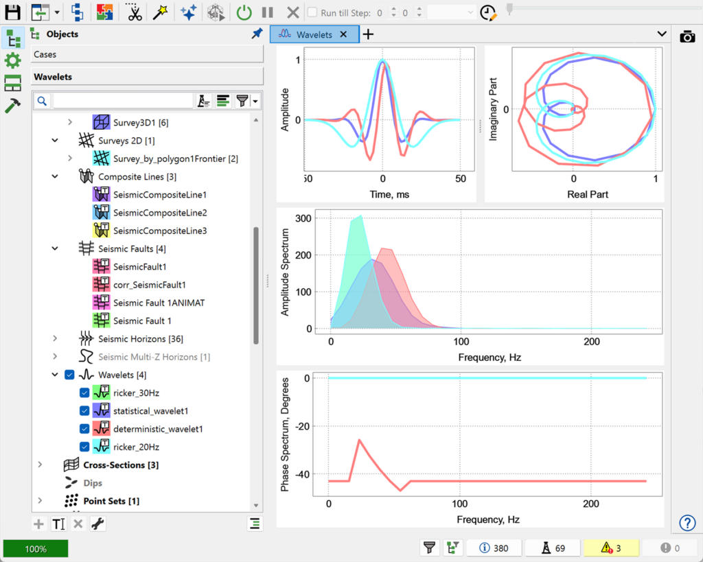
  • Attribute analysis – access a comprehensive, growing library of seismic attributes – from Autocorrelation and Attribute Blending to signal-enhancing attributes such as Non-linear Deconvolution and AVT.
  • Structural interpretation tools – map horizons, faults and key geological features, including complex multi-valued structures with seismic multi-z horizons.
  • AI-assisted fault & horizon detection – automatically extract sharper, more continuous fault boundaries with Intelligent Fault Detection, and track horizons on non-zero centric data such as impedance volumes.
  • Seismic inversion & AVO – run acoustic, coloured, and simultaneous inversion (including Model-Based Soft Constraints and Sparse-Spike algorithms) alongside Shuey and Fatti AVO approximations.
  • Open data exchange – import and export seismic horizons and faults via OSDU (Open Subsurface Data Universe), and export 3D seismic data in VDS format to local or cloud storage.
  • Integrated workflows – seamlessly transfer seismic outputs into geological and reservoir models.

All workflows operate within a single platform, eliminating the need for multiple disconnected tools.

Fully Integrated with Geological & Reservoir Modelling

Unlike standalone seismic tools, tNavigator connects seismic interpretation directly to geological modelling and reservoir simulation, allowing you to:
  • Transfer interpreted horizons and faults into Geology Designer.
  • Build structurally consistent models for reservoir simulation.
  • Reduce rework and improve consistency across subsurface teams.