Skip to content

Geosteering

Real-Time Well Trajectory Optimisation

Geosteering combines geological models with live WITSML drilling data to keep wells on target – maximising reservoir contact in real time.

Plan and Optimise Well Trajectories in Real Time

tNavigator’s Geosteering module is real-time geosteering software designed to optimise well placement, maximise reservoir exposure and improve drilling performance. By integrating geological interpretation with live drilling data, it lets geoscientists and drilling teams make faster, more accurate decisions during well execution.

Improve Drilling Accuracy and Reservoir Contact

Geosteering provides a complete toolkit for planning, executing and analysing well trajectories in complex subsurface environments. From pre-drill planning to real-time adjustments and post-well evaluation, it helps keep wells within target zones, reducing risk and improving production outcomes.


Real-Time Data Integration

Use WITSML-based data transfer to monitor drilling operations and make immediate adjustments to well trajectories based on live subsurface data.

Horizontal Well Optimisation

Compare synthetic and actual well logs to refine well placement, maximise reservoir exposure and improve production performance.

Intuitive Geosteering Tools

Leverage expert tools such as the Autocorrelation Wizard to streamline log handling, correlation and interpretation, improving efficiency and accuracy.
Key Geosteering Capabilities:

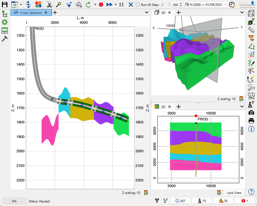
  • Real-time data integration – ingest live drilling data via the WITSML protocol for continuous updates.
  • Well trajectory optimisation – adjust well paths dynamically during drilling.
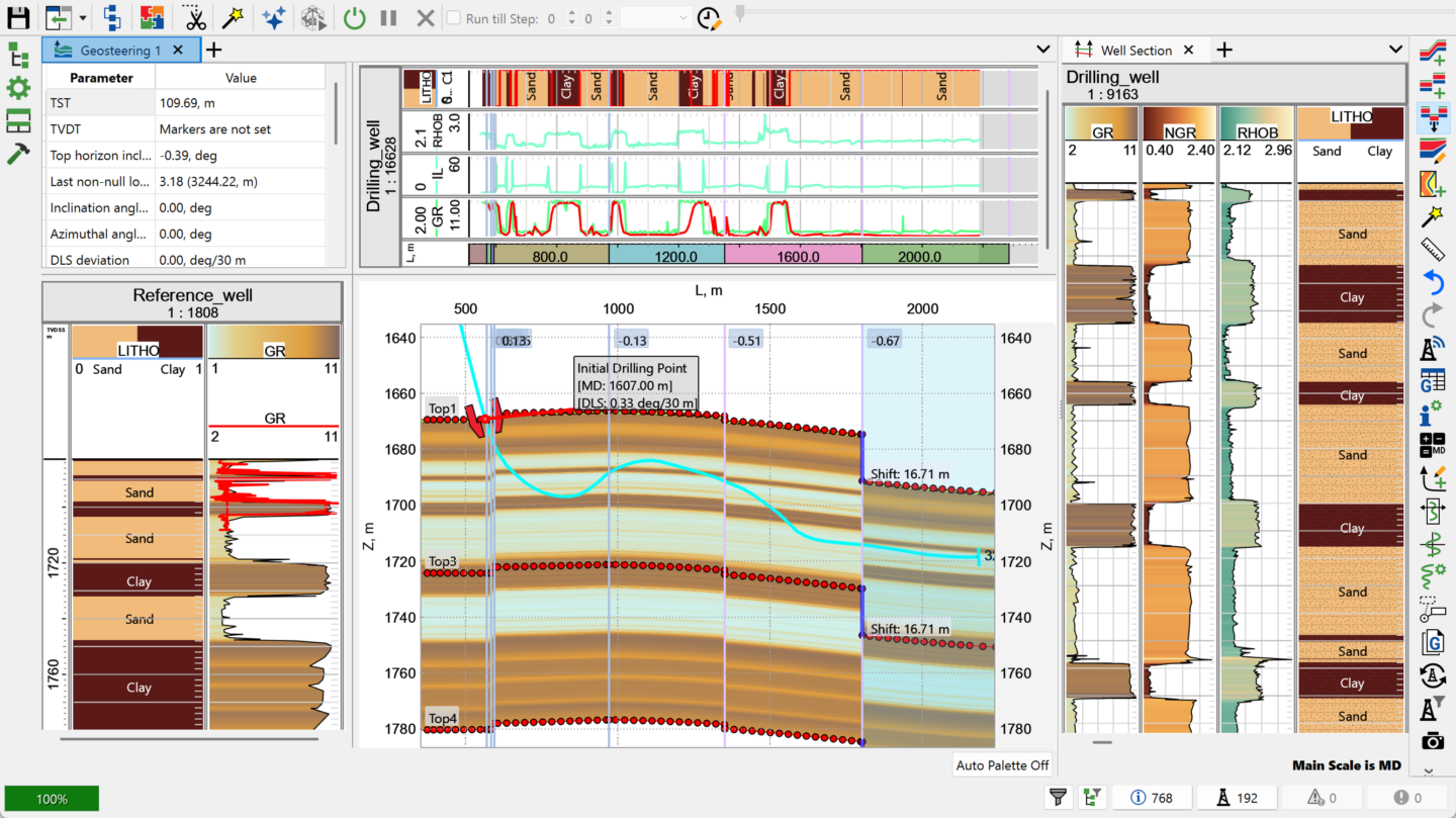
  • Synthetic vs real log comparison – compare synthetic and real-time logs (typically gamma ray) for improved accuracy.
  • Horizontal well optimisation – maximise reservoir contact in complex formations.
  • Log correlation and matching – flex geological structure (horizon & faults) for better log match.
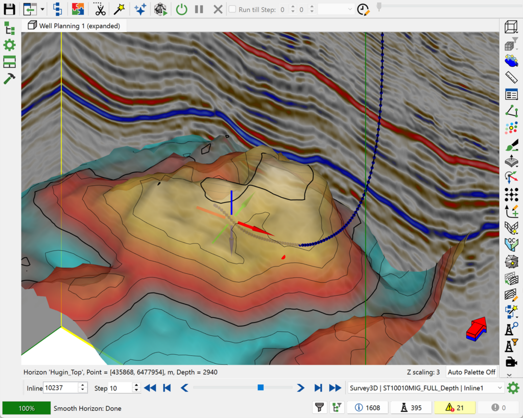
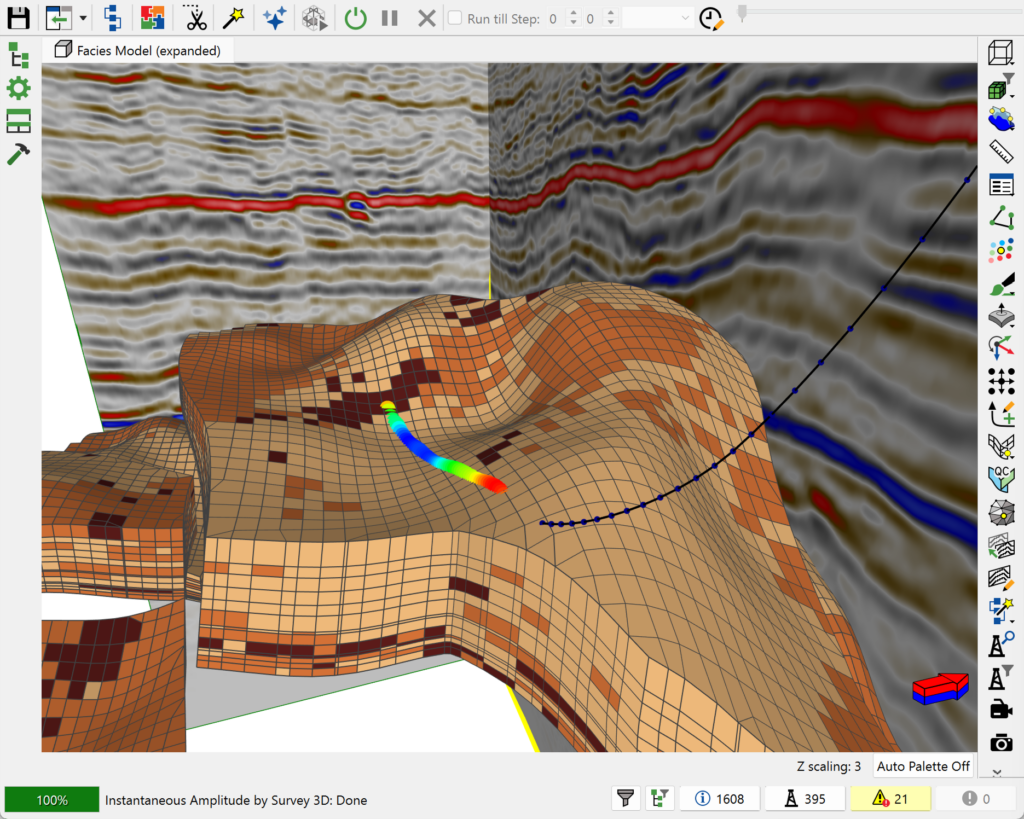
  • Seismic & EM data integration – visualise seismic data and 2D electromagnetic (resistivity inversion) surveys for more accurate navigation.
  • Dip-aware marker projection – automatically update marker projections from the reference well as formation dip changes, and display True Stratigraphical Thickness (TST) along the reference well.
  • Editable offset & report tables – edit fault and flexure offset values directly in geosteering tables, with a dedicated Report tab summarising MD, inclination, azimuth, TVD/TVDSS and DLS for the latest survey.
  • Post-well analysis – evaluate drilling performance and refine future strategies.

What’s new in Geosteering?

  • Formation dip-aware markers – update marker projections from the reference well to the well being drilled automatically whenever the dip angle of a horizon changes, keeping the cross-section current without manual rework.
  • Clearer section visualisation – display a True Stratigraphical Thickness (TST) scale along the reference well in the section panel, and fill only between chosen top and bottom horizons instead of the full interval.
  • More editable, more informative tables – edit Volume Offset (faults) and Angle (flexures) values directly in geosteering tables, with a Control Type column and a dedicated Report tab covering the latest survey’s MD, inclination, azimuth, TVD/TVDSS and DLS.
  • Printable geosteering reports – add geosteering tables to a Print Layout via a workflow, for easier reporting and handover.

Geosteering is fully integrated within the tNavigator platform:

  • Use geological models from Geology Designer for pre-drill planning.
  • Align with Seismic interpretation for structural understanding.
  • Feed results into reservoir modelling and simulation workflows.

A continuous workflow from interpretation to drilling and production

Common Use Cases:

  • Horizontal and directional drilling optimisation
  • Well placement in complex reservoirs
  • Real-time drilling decision support
  • Thin reservoir targeting
  • Post-well performance analysis