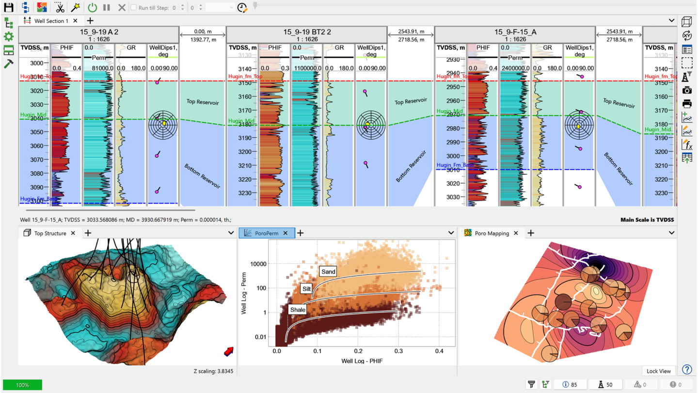
Unified Modelling Environment
Work within a single interface that brings together seismic, core, well logs, borehole data, structural maps and images – improving data consistency and geological confidence.

Build simulation-ready 3D geological models without upscaling. Geology Designer unites seismic, well and structural data in one static modelling workflow.
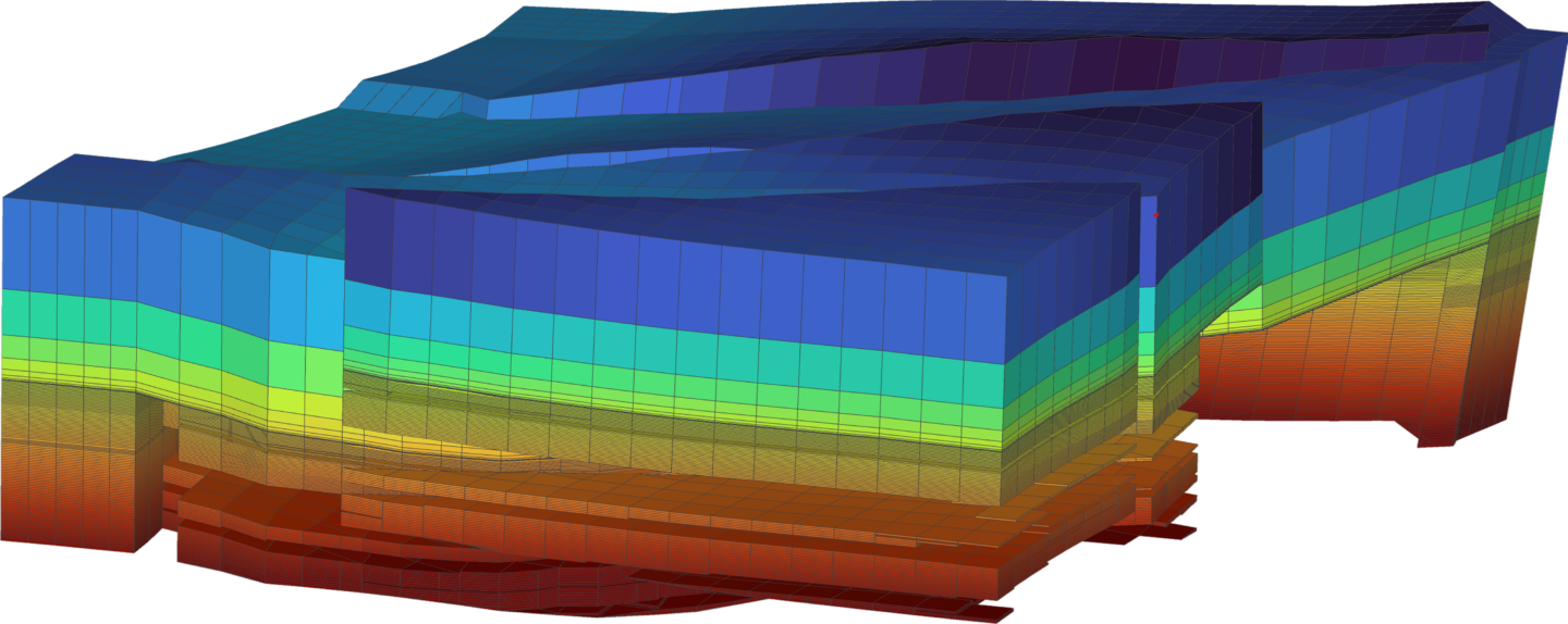
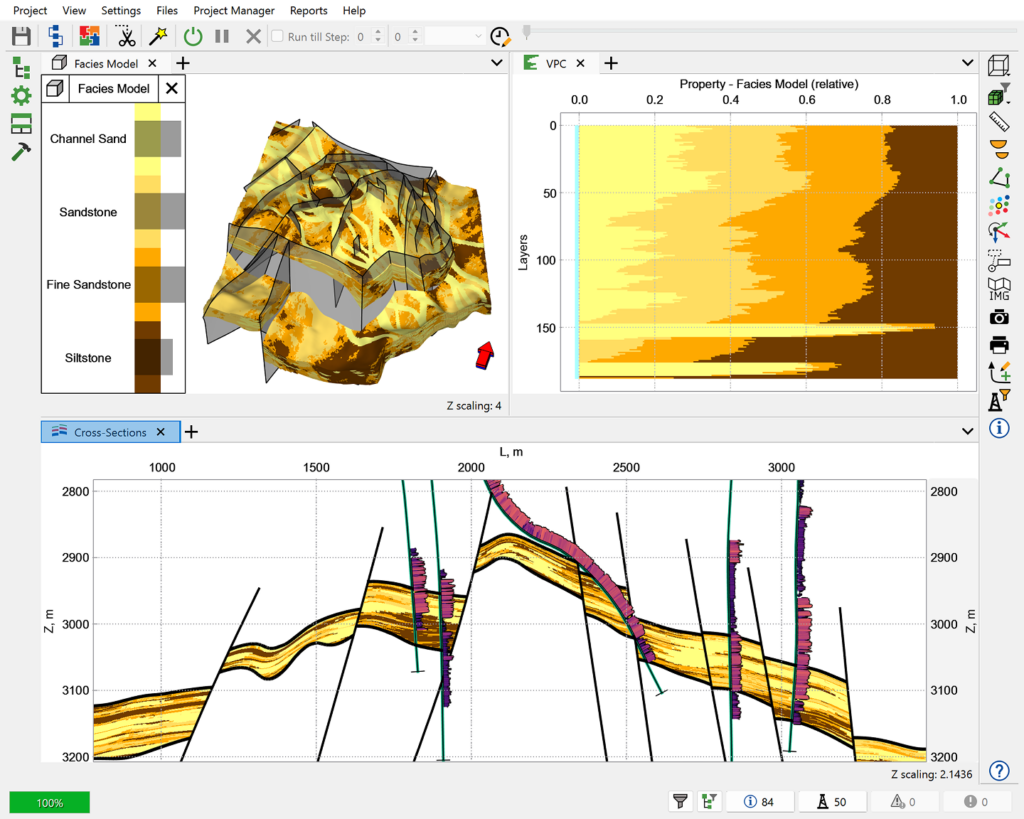
tNavigator’s Geology Designer is static geological modelling software for building accurate, simulation-ready subsurface models. It brings seismic, well and geological data together in a single 3D environment, helping geoscientists model faster, interpret with more confidence and generate more reliable reservoir predictions.
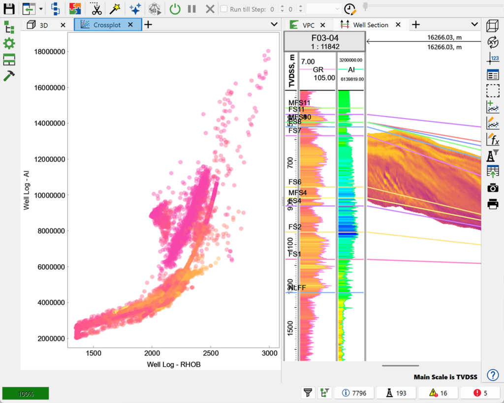
Take your models straight into simulation with no upscaling and no loss of geological detail. Geology Designer delivers best-in-class static modelling technology for constructing, quality-controlling and optimising 3D geocellular grids across even the most complex subsurface environments.
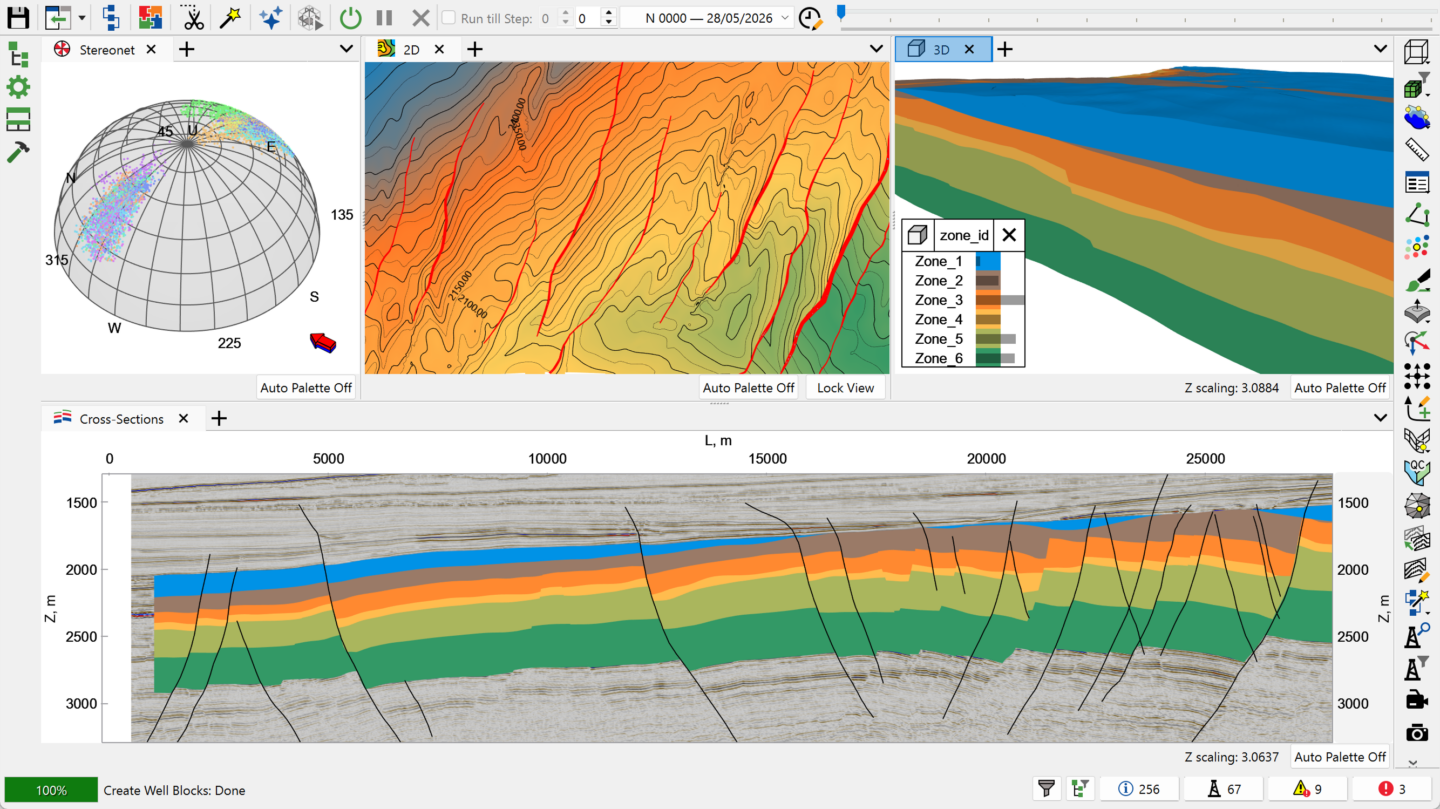
Work within a single interface that brings together seismic, core, well logs, borehole data, structural maps and images – improving data consistency and geological confidence.
Automate repetitive processes such as data import, model construction and analysis using flexible Python scripting, for greater efficiency and consistency across projects.
Connect seismic interpretation, geological modelling and reservoir simulation within one workflow, enabling full traceability and uncertainty management across disciplines.
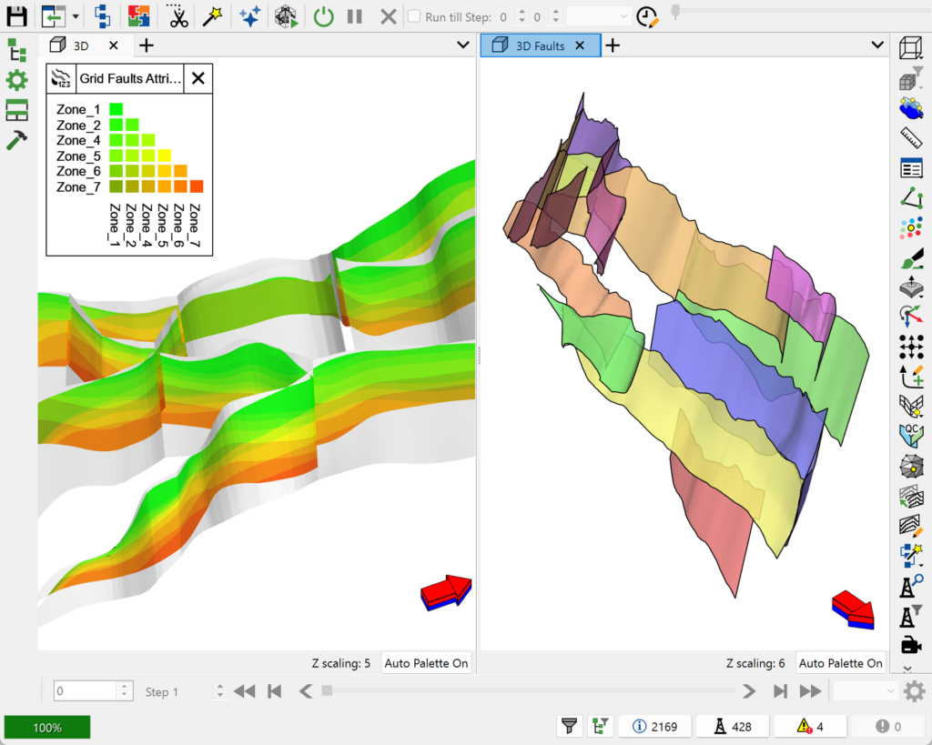
The result is one continuous workflow – from seismic interpretation through to production modelling.